Route Recon app for iPhone and iPad
Developer: U.S. Army, Maneuver Center of Excellence, Technology Integration Cell
First release : 17 Aug 2012
App size: 64.52 Mb
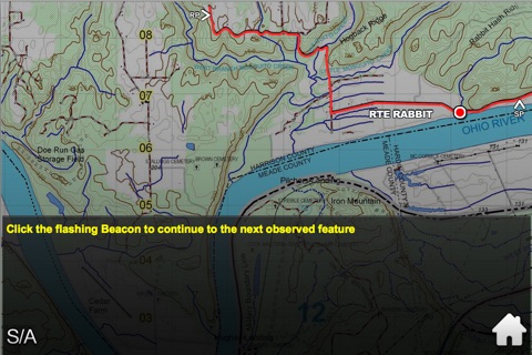
This app has two parts. Part one is a symbol advisor of the types of symbols used in a Route Recon Overlay and how these symbols are populated with information. Part two is a practical exercise taken from the Program of Instruction at the school.
• • •
Students swipe through a visual list of symbols for the terrain feature on the screen.
Students populate the symbol based on the given information about the terrain feature.
Once the symbol is populated correctly it is moved to a terrain map to interactively build the route recon overlay.
Learning Objective: Students learn the proper symbols for each terrain feature, properly construct the symbol with given information and populate a route recon overlay on a terrain map. This app should be used concurrently with the Program of Instruction in Individual Study Time or the Symbol Advisor reference section can be used at at any time at the point of need.
The app may be expanded in the future to become a Route Recon Overlay Calculator that includes all symbols in which to build a map, utilize the device’s camera API to capture terrain features and transmit a map in real time by ground forces.

